|
AUSTRALIA and TASMANIA
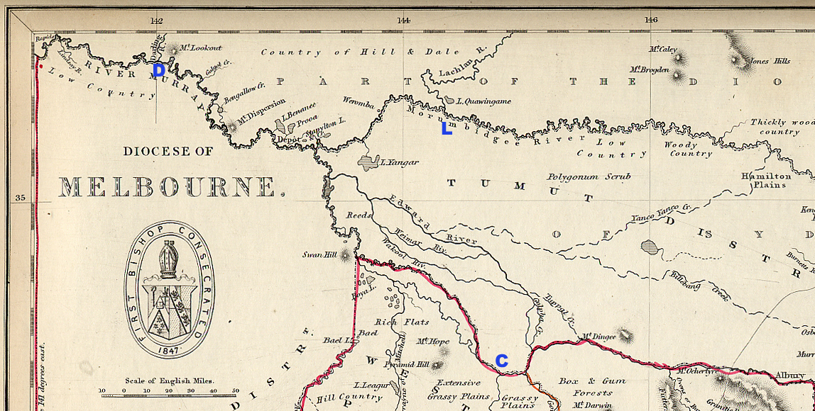
Part of a map of the Diocese of
Melbourne, designed and engraved by J. Archer,
published in The Colonial Church Atlas, 3rd
edition, London 1850
This segment stretches from the Adelaide/Melbourne
border to Albury.
The Lachlan/Murrumbidgee confluence is marked
L.
The Campaspe/Murray confluence is marked
C.
The Darling/Murray confluence is marked
D.
On 13 June
1851 Mereweather was examining a map of the
country which the Bishop of Sydney had allotted
to him for his pastoral labours: "I find that
between the Adelaide boundary westward, to
Albury, eastward, there are six degrees of
longitude; and from the Murray, at the junction
of the Campaspie, south, to the Murrumbidgee, at
the junction of the Lachlan, north, there
intervenes a degree and a half of latitude. My
district, then, is comprised between 141º and
147º east longitude, and between about 34º and
36º south latitude. All this vast country lies
in the interior, at the back of the colony of
Port Phillip, or Australia Felix." (Diary,
p. 105)
Click
here
for more information about The Colonial Church Atlas
and
for complete maps of the dioceses of Melbourne, Tasmania
and Sydney as well as of the diocese of Gibraltar
(comprising the Mediterranean).
For information on the
Murray-Murrumbidgee-Darling river system, see
Max Colwell,
The Big
Rivers, Rigby Ltd, Adelaide, 1978, with
illustrations by Peter Finch.
|
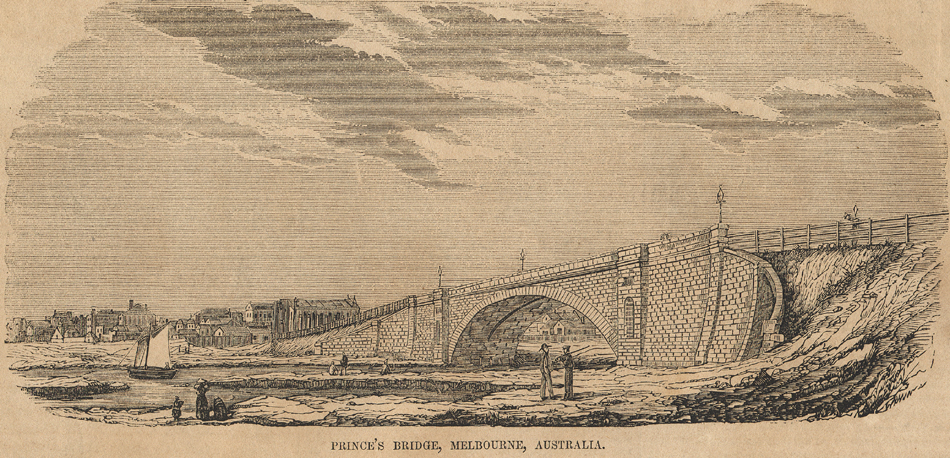
Prince's Bridge, Melbourne,
drawing by
an unknown artist,
published in
Gleason's Pictorial Drawing-Room
Companion,
Boston, Massachusetts, 1854 |
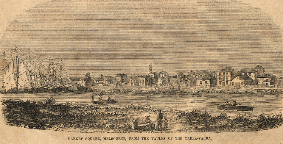
Market Square, Melbourne,
from the values of the Yarra-Yarra, drawing by
an unknown artist,
published in
Gleason's Pictorial Drawing-Room
Companion,
Boston, Massachusetts, 1854 |
|
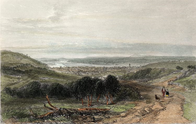
Launceston, Tasmania, engraving by H. Bibby
after a picture by S. Prout, c. 1870 |
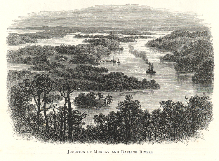
Junction of Murray and Darling
Rivers,
drawing by an unknown artist,
published in
Australian Pictures Drawn with Pen and Pencil
by
Howard Willoughby, London 1886 |
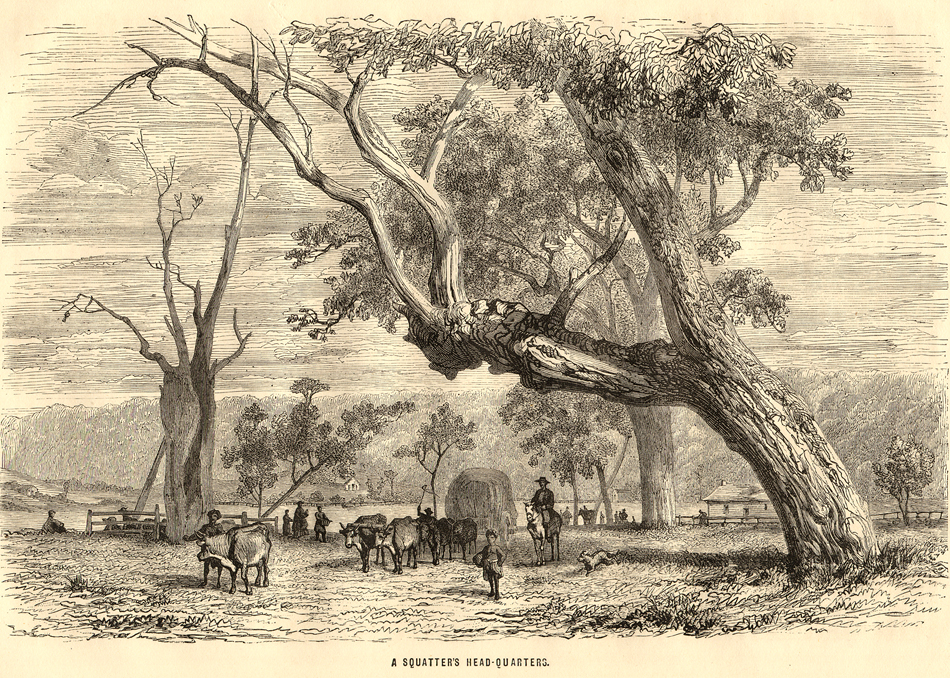
A Squatter's Head-Quarters, drawing
by Karl Girardet,
published in All
round the world. An illustrated record of
Voyages, Travels, and Adventures in all parts of
the Globe,
William Collins, Sons & Co., London 1870 |
|
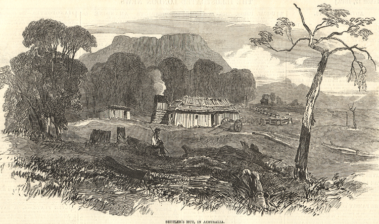
Settler's Hut, drawing by Skinner Prout, published in The Illustrated London
News 1849 |
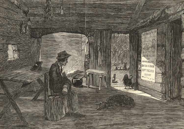
| Interior of
Settler's Hut, drawing by Skinner Prout,
published in The Illustrated London News
1849 |
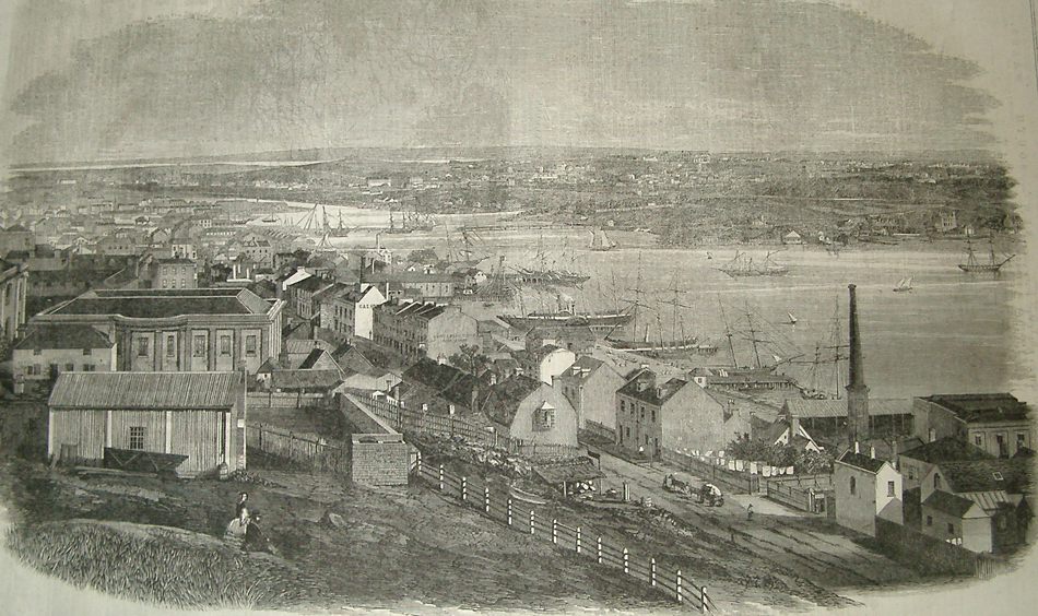
General view of Sydney, published in The Illustrated London News
31 August
1861
|